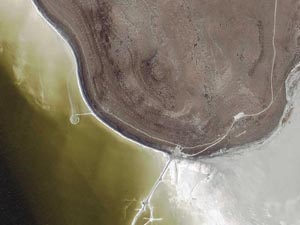
Google Melon, by Marco Cadioli…
(via mbf tod@y)
Google Melon, by Marco Cadioli…
(via mbf tod@y)

Postcards from Google Earth, by Clement Valla:
‘The images are screenshots from Google Earth with basic color adjustments and cropping. I am collecting these new typologies as a means of conservation – as Google Earth improves its 3D models, its terrain, and its satellite imagery, these strange, surrealist depictions of our built environment and its relation to the natural landscape will disappear in favor of better illusionistic imagery. However, I think these strange mappings of the 2-dimensional and the 3-dimensional provide us with fabulous forms that are purely the result of algorithmic processes and not of human aesthetic decision making. They are artifacts worth preserving.’

Another great video by Marco Cadioli (aka Marco Manray):
“How will be Gloogle Earth without Earth?
Over Data is a machinima shot in Google Earth, but the images of the Earth are extinguished, annulled in a white neutral surface. Data, information and icons are the only ones that design, define and create the new landscape.”
[via mbf]

Gcity, a new video work by Marco Cadioli (aka Marco Manray): “A flight over the cities that are emerging in Google Earth. Skyscrapers with nothing around in a still uninhabited world.”
Come avrete sicuramente letto da qualche parte (la notizia è un po’ dovunque) Google ha lanciato un servizio di mappe completo di foto satellitari. Un po’ tutti ci siamo lanciati alla ricerca di luoghi familiari, un po’ per gioco, un po’ il gusto di vedere come cambiano l’aspetto delle cose e dei posti, cambiando prospettiva. C’è anche un sito che offre un regolare google sightseeing sui luoghi più famosi del mondo.
Oggi, leggendo greg.org scopro un risvolto interessante. Si possono usare le mappe di Google per cercare i lavori di Land Art disseminati sul pianeta. Non sempre la ricerca va a buon fine, e spesso si rivelano migliore altre risorse satellitari. Ma alcune visioni sono molto affascinanti. La migliore? Questa.